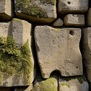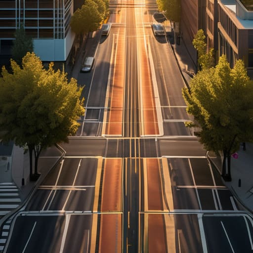
I was standing in a dusty courtyard in Syracuse last summer, squinting at a limestone threshold where a Roman paving stone met a much later medieval repair, when it hit me how much we misunderstand the concept of order. Most people look at town planning and the grid and see nothing but a sterile, modern obsession with efficiency or a boring way to maximize real estate profits. They think it’s just a way to draw straight lines on a map to keep things tidy. But they are missing the human pulse beneath the geometry. A grid isn’t just a layout; it is a series of physical negotiations between the people who lived there and the stubborn, uneven earth they were trying to tame.
I am not here to give you a lecture on urban theory or the latest bureaucratic jargon from a municipal office. Instead, I want to show you how to read the streets like a building’s masonry. We are going to look past the maps and examine the actual scars left on the landscape—the way a street widens to accommodate a market or how a corner is clipped to let a cart pass. I promise to show you the real story of how these lines were drawn, one stone at a time.
Table of Contents
The Intentionality of Orthogonal Street Layouts
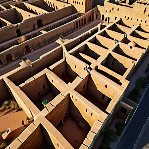
When I walk through a site like Timgad or even the more layered remains near Ostia, I don’t see empty spaces; I see the ghost of a decision. These orthogonal street layouts weren’t just convenient for laying down stone or directing foot traffic. They represent a profound, almost aggressive imposition of human logic upon the landscape. To look at a grid is to see a commander’s hand at work, translating a desire for order into a physical reality that dictates how every citizen will move, breathe, and interact for centuries to come.
This isn’t a random occurrence of geometry, but a direct lineage of Roman urban design principles that sought to standardize the very concept of “home.” By utilizing a rigid, predictable framework, the architects were able to distribute resources, water, and authority with mathematical precision. It is the ultimate expression of the Hippodamian plan history, scaled up to meet the logistical demands of an empire. Every intersection is a knot in the fabric of the city, a place where the urban spatial structure was frozen into place, ensuring that no matter how much the population swelled, the underlying skeleton remained unyielding and legible.
Tracing the Scars of Ancient City Organization
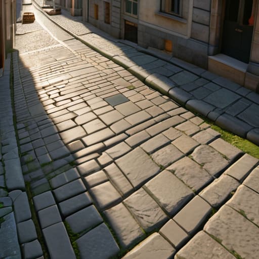
When I walk through the remains of a colonial outpost or a repurposed Roman settlement, I don’t look at the monuments first; I look at the ground. The urban spatial structure is often still there, whispered through the uneven alignment of modern paving stones or the way a contemporary alleyway refuses to curve, stubbornly adhering to a line set two millennia ago. You can see the ghost of the Hippodamian plan history in the way the wind tunnels through certain intersections, or how the sunlight hits a courtyard at a specific, calculated angle. These aren’t accidental gaps in the fabric; they are the surviving echoes of a rigid, mathematical intent.
To trace these scars is to realize that ancient city organization was never just about convenience. It was an imposition of logic upon the landscape. I often find myself kneeling in the dirt, tracing the subtle shifts in soil density or the slight elevation changes that mark where a primary cardo once dictated the flow of human life. Even when the stones have been looted or the mortar has crumbled into dust, the geometry remains. It is a stubborn, silent skeleton that refuses to let the chaos of the present erase the discipline of the past.
Beyond the Blueprint
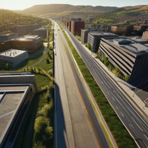
We have seen that the grid is far more than a convenient way to parcel out land or manage traffic; it is a profound imposition of human logic upon a landscape that resists it. From the rigid centuriation of Roman fields to the calculated geometry of modern urban expansions, these lines represent a series of deliberate choices—decisions about property, power, and the way we move through space. When we look closely at how these streets intersect, we aren’t just looking at a map; we are looking at the structural skeleton of civilization, a way of organizing chaos into something predictable and, ultimately, something we can inhabit.
Next time you find yourself walking down a perfectly straight avenue, I urge you to stop looking at the storefronts and start looking at the ground beneath your feet. Look for the way the pavement meets the curb, or how the blocks dictate the rhythm of the shadows. A city is not just a collection of buildings; it is the intentional tension between the lines we draw and the earth that carries them. If you learn to read the grid, you stop seeing a mere layout and start seeing the enduring fingerprints of every architect and planner who ever dared to claim a piece of the world.