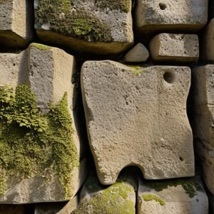
Last summer, while I was tucked into a corner of a crumbling villa near Syracuse, I found myself tracing the faint, weathered grooves in a limestone slab. Most people walk past these sites looking for grand columns or marble gods, but I was looking for the ghosts of the layout. I wasn’t looking for art; I was looking for the evidence of the roman surveying instruments that forced this stone to obey a straight line. There is a specific, quiet frustration in reading textbooks that treat these tools like abstract mathematical concepts, as if they were used by philosophers in a vacuum rather than by sweating, mud-splattered technicians fighting against uneven terrain.
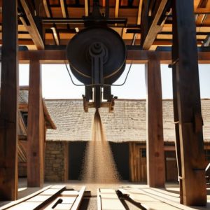
I am not here to give you a dry lecture on geometry or a list of Latin names to memorize for an exam. Instead, I want to show you how these tools—the groma, the chorobates, and the dioptra—actually functioned as extensions of a human hand. We are going to look past the museum glass and focus on the mechanical reality of how these devices translated a surveyor’s intent into the very foundations we still stand upon today.
Table of Contents
Tracing the Lines of Ancient Civil Engineering Measurement
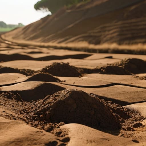
When I’m standing in a dusty field in the outskirts of Ostia, I’m not looking at the horizon; I’m looking at the ground. I’m looking for the subtle, intentional geometry that shouldn’t be there naturally. To understand how they achieved such terrifyingly consistent gradients across kilometers of terrain, you have to move past the idea of “luck” and look at the specific application of Roman land surveying techniques. They weren’t just guessing; they were imposing a mathematical will upon the landscape.
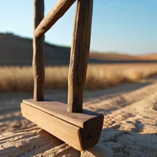
The sheer physicality of their work is what strikes me. You can almost feel the weight of the chorobates leveling device—that massive, wooden H-frame—as it was positioned to find a perfect horizontal plane. It wasn’t a delicate, theoretical exercise. It was a heavy, tactile process of using water troughs and plumb lines to fight against the natural slope of the earth. When you see a Roman aqueduct maintaining a slope of mere centimeters over vast distances, you aren’t just seeing an achievement of physics; you are seeing the result of a surveyor’s stubborn refusal to accept a crooked line. This level of ancient civil engineering measurement required a marriage of brute force and extreme, almost obsessive, precision.
How Dead Hands Dictated the Empires Shape
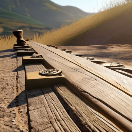
When I stand in the center of a Roman forum, I don’t just see the marble; I see the invisible grid that forced the landscape to submit. It wasn’t enough to simply build; they had to impose an order that could stretch from the damp forests of Britannia to the heat of North Africa. This wasn’t achieved through mere guesswork, but through a rigorous application of Roman land surveying techniques that turned chaos into geometry. You can still feel it in the way a road refuses to deviate, even when the terrain begs it to.
The true weight of this authority lived in the hands of the mensores. They didn’t just measure distance; they dictated the very slope of the world. Using the chorobates leveling device, they could ensure a water channel maintained a gradient so precise it feels almost unnatural to a modern eye. It is a humbling thought: a surveyor, perhaps standing in the same mud I am today, would have adjusted his sighting, checked his plumb lines, and made a definitive choice that would hold firm for two millennia. They weren’t just using ancient civil engineering measurement tools; they were imprinting a permanent logic onto the earth itself.
The Ghost in the Geometry
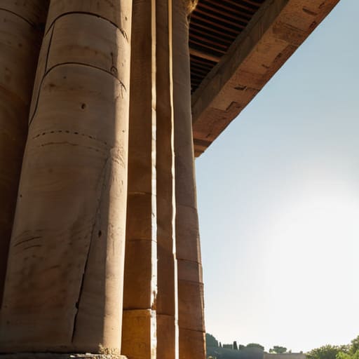
When I stand in a field near Ravenna or walk the perimeter of a ruined forum, I am not just looking at stone and dirt; I am looking at the residual logic of the groma and the chorobates. We have seen how these instruments were not merely tools, but the physical extensions of a Roman mind that demanded order across chaotic landscapes. From the leveling of a massive aqueduct to the precise, perpendicular strike of a colonial street grid, every measurement was a deliberate act of imposition. The precision we find in these ancient foundations tells us that the surveyors weren’t just guessing; they were mastering the terrain through a rigorous, mathematical discipline that refused to yield to the slope of a hill or the bend of a river.
It is easy to look at a ruin and see only decay, but if you lean in close—if you look at the way a stone meets its neighbor—you realize that the geometry is still there, holding its breath. The instruments are gone, lost to the dust of centuries, but the intent of the builder remains etched into the very crust of the earth. I hope that next time you pass an old wall or a straight stretch of road, you don’t just see a path, but the invisible lines drawn by hands that have been gone for two millennia. They are still there, waiting for someone to notice how the world was once measured.