
I remember standing on a muddy ridge in the Marches, staring at a series of excavated post-holes that refused to align with the textbook diagrams I’d spent years memorizing in university. The academics will tell you that military camps and standard plans are triumphs of rigid, geometric perfection—a seamless imposition of order upon the chaos of the landscape. But they aren’t looking at the actual soil. When you kneel in the dirt, you see the truth: a misplaced timber, a shallow trench, or a sudden shift in the perimeter that tells you the surveyor was exhausted, or perhaps, that the terrain simply wouldn’t cooperate with the commander’s ego.
I’m not here to give you a lecture on idealized blueprints or the sanitized versions found in history books. Instead, I want to show you how to read the scars in the earth to find the real story of how these sites were actually occupied. We are going to look past the theoretical geometry and focus on the physical evidence—the way a ditch was cut or how a camp’s layout was forced to adapt to a sudden change in weather. I promise to strip away the academic fluff and teach you how to see the human decisions hidden within the dirt.
Table of Contents
The Geometry of Command in Roman Castrum Layout Design
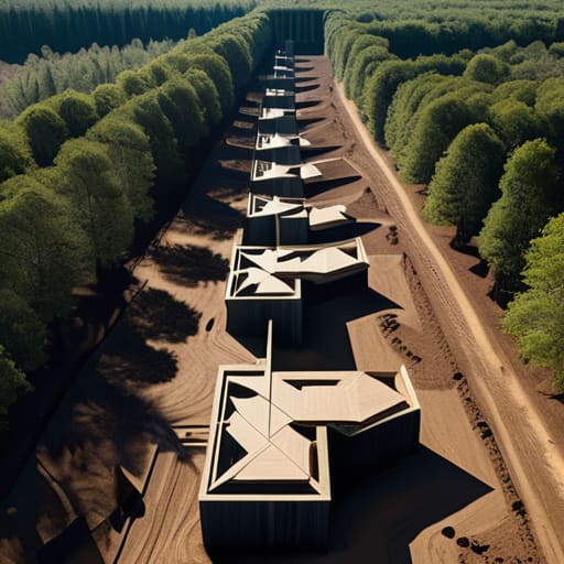
When I stand within the footprint of a former legionary site, I don’t look for the grandeur of the monuments; I look for the rigidity of the grid. The Roman castrum layout design wasn’t just a way to organize men; it was a way to impose order upon a landscape that was often hostile or unknown. You can see it in the way the decumanus maximus and the cardo slice through the terrain, demanding that the earth conform to the geometry of the state. It is a profound architectural arrogance—the idea that a standard plan could be dropped into a forest in Germania or a desert in North Africa and function with the same mathematical certainty.
If you examine the soil profiles where the ramparts once sat, you begin to understand the logic of standardized legionary camp planning. It wasn’t merely about defense; it was about the speed of the assembly. The way the ditches were excavated and the timber palisades were notched reveals a repetitive, almost industrial rhythm. You see the same tool marks on the wooden stakes as you would in a camp built a thousand miles away. This wasn’t a collection of individual builders making intuitive choices; it was a system of muscle memory and standardized logistics, etched directly into the topography.
Tracing the Intent Behind Standardized Legionary Camp Planning

When I stand in the middle of a site where a camp once breathed, I don’t look for the grand monuments; I look for the scars in the earth. Standardized legionary camp planning wasn’t just about order; it was about a psychological certainty. You can see it in the way the decumanus and cardo intersect with such mathematical precision that even centuries of erosion can’t fully erase the logic of the grid. It’s a rigid, almost violent imposition of Roman geometry onto a landscape that likely wanted to be anything but predictable.
The real story, however, lies in the transition from the blueprint to the actual defensive perimeter construction methods. I’ve spent hours tracing the subtle shifts in soil density where a ditch was dug in haste versus where a rampart was reinforced with deliberate, layered stone. There is a specific tension in these ancient military fortification structures—a dialogue between the ideal plan and the messy reality of the terrain. You can see where a surveyor had to compromise, where the soil was too soft for a deep trench, or where a sudden slope forced a slight, almost imperceptible deviation from the standard. That deviation is where the soldier’s hand becomes visible.
The Ghost in the Grid
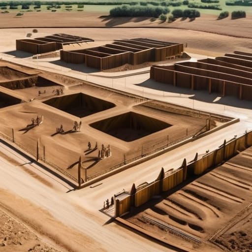
When we strip away the modern layers of soil and vegetation, what remains isn’t just a series of trenches or a footprint of a vanished wall; it is the physical manifestation of a rigorous, almost obsessive, logic. We have seen how the Roman castrum wasn’t merely a place to sleep, but a machine of order designed to project authority through the very way the earth was carved. From the rigid axiality of the cardo and decumanus to the calculated spacing of the tent platforms, every measurement was a decision made to ensure that even in the chaos of a frontier, the legion remained a singular, disciplined entity. The standardization wasn’t about mindless repetition; it was about the survival of the system through the predictability of its parts.
I often find myself kneeling in the dirt of these old sites, not looking at the grand scale of the camp, but at the way a single post-hole was dug or how a drainage ditch was angled to respect the slope. It is easy to get lost in the maps and the grand theories of military logistics, but the true history lives in the friction between the plan and the terrain. A camp is a conversation between a commander’s ideal geometry and the stubborn reality of the ground beneath his feet. If you learn to read those subtle deviations, you stop seeing mere ruins and start seeing the living intent of the builders who once stood exactly where you are standing.