I spent three weeks last summer in a dusty archive in Florence, tracing the ink lines of Renaissance masterworks, only to realize how much we get wrong about the concept of perfection. We tend to treat the ideal city drawings as if they were finished blueprints for a utopia, something polished and untouchable. But when you actually look at the parchment—the way the ink bleeds into the grain or how a draftsman’s hand faltered at a difficult corner—you realize these weren’t maps of a destination. They were arguments written in geometry, desperate attempts to impose order on the messy, breathing reality of human chaos.
I have no interest in the sanitized, digital renders that populate modern architectural journals; they tell you nothing about how a city actually lives. In this series, I want to strip away the romanticism and look at the structural intent behind these historic visions. We are going to examine the logic of the street widths, the weight of the proposed plazas, and the inevitable friction between a perfect line and a real stone. I promise to show you that the true genius of these drawings lies not in their beauty, but in their unspoken mechanics.
Table of Contents
The Intent Hidden Within Renaissance Urban Planning Illustrations
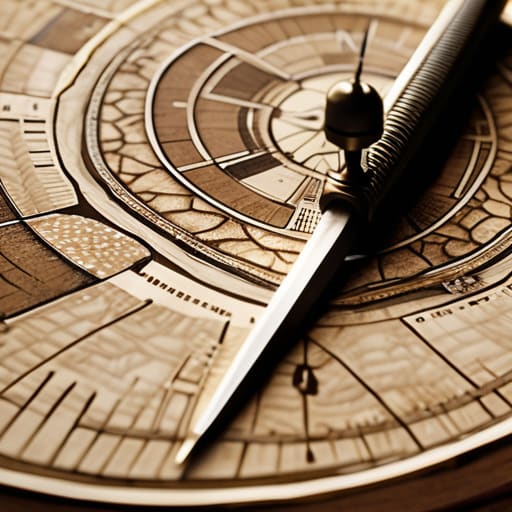
When I look closely at renaissance urban planning illustrations, I find myself looking past the symmetrical piazzas and the perfect radial streets. Most people see a vision of order; I see a struggle against the chaos of the medieval footprint. These drawings aren’t just pretty maps; they are attempts to impose a mathematical logic onto the messy reality of stone and soil. In these sketches, you can almost feel the tension between the artist’s hand and the physical impossibility of the terrain. I often find myself wondering if the draftsman considered how the drainage would actually function in such a rigid, geometric layout, or if they were simply chasing a divine proportion that could never truly survive the weight of a real building.
These utopian architectural sketches often function more like philosophical manifestos than practical blueprints. They represent a moment where the architect stopped being a mere builder and started acting as a social engineer. When I study these visionary urbanism drawings, I’m looking for the “why” behind the lines—the way a single central hub is intended to dictate the flow of human movement. It is a fascinating, albeit dangerous, kind of optimism. They weren’t just drawing streets; they were trying to sculpt human behavior through the sheer force of perspective and geometry.
Reading the Scars of Visionary Urbanism Drawings
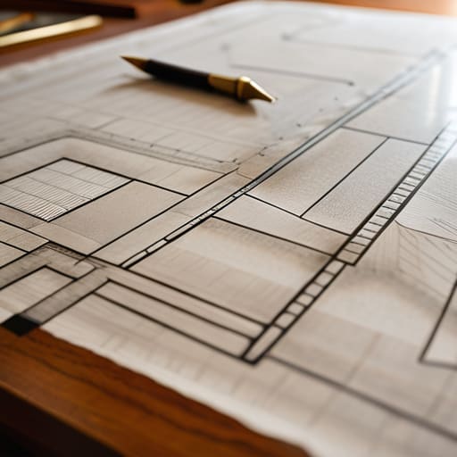
When I lay a sheet of tracing paper over these visionary urbanism drawings, I am not looking for the grand vistas or the perfect symmetry that catches the eye of a casual tourist. I am looking for the friction. Even in the most polished utopian architectural sketches, there is a tension between the mathematical perfection of the grid and the messy reality of the terrain they intend to conquer. You can see it in the way a draftsman handles a corner—a slight hesitation in the ink, a thickening of the line where a central piazza meets a secondary artery. These aren’t just lines; they are the first, tentative attempts to impose human logic upon the chaos of the natural world.
To truly understand the history of city planning diagrams, one must look past the geometry and find the human scale buried in the margins. I often find myself tracing the shadow lines cast by imagined colonnades, wondering if the architect understood how the sun would actually hit that specific limestone. These drawings are more than just blueprints; they are records of a struggle. They represent the moment a philosopher’s abstract concept meets the hard, unyielding reality of stone and street, revealing the exact point where the dream of a perfect society begins to encounter the gravity of the earth.
Beyond the Ink and Parchment
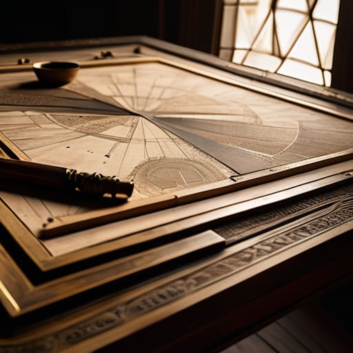
When we look back at these ideal city drawings, we aren’t just studying geometry or the symmetry of a planned piazza; we are studying the unfiltered ambition of the human mind. We have seen how Renaissance illustrators used perspective to impose order on chaos, and how those visionary lines attempted to bridge the gap between a mathematical dream and the messy reality of stone and mortar. These drawings serve as a blueprint not just for streets, but for the very way we perceive our place in the world. They remind us that every grand urban concept begins as a series of deliberate, calculated strokes on a page, long before the first shovel hits the dirt.
Ultimately, a drawing is a promise made by an architect to a future that may or may not arrive. As I walk through the narrow, winding streets of the cities I survey, I often find that the real “ideal” isn’t found in the perfect radial symmetry of a sketch, but in how the living city has adapted the rigid lines of its creators. We must look at these historical renderings not as finished truths, but as invitations. They invite us to stop looking at the surface and start asking how we might build something today that possesses enough structural integrity and soul to still be worth drawing five hundred years from now.